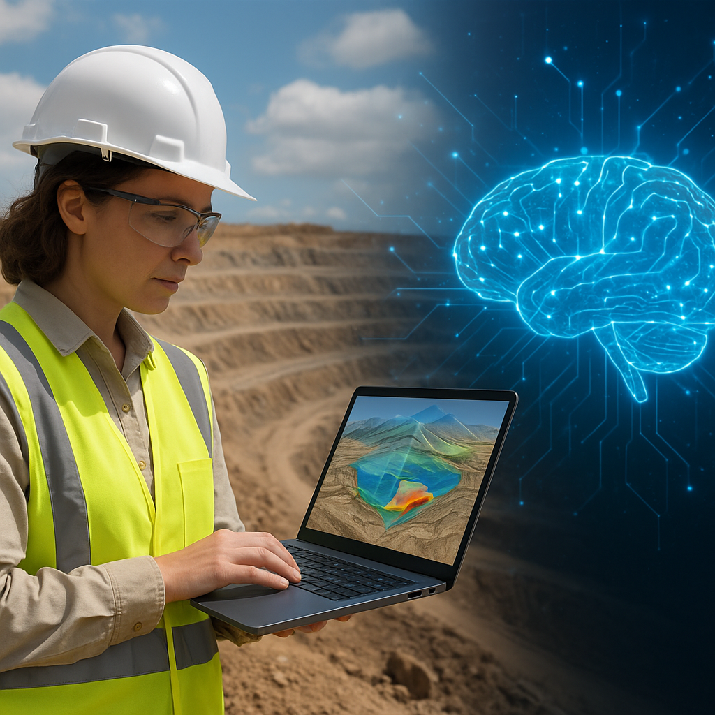
The pursuit of minerals has entered a new era where computational power and domain knowledge converge. This article explores how AI accelerates mineral exploration, transforming raw geoscience data into actionable insights. By combining historical records, satellite imagery, and modern sensor networks, companies can prioritize targets, reduce environmental impact, and increase the probability of discovery. Below are practical explanations of methods, applications, and the operational implications for modern exploration programs.
Integrating diverse data sources: the backbone of modern exploration
Successful mineral exploration relies on synthesis of heterogeneous data. Traditional workflows separated geologic maps, assay logs, geophysical surveys, and remote sensing into disconnected silos. Today, AI-driven pipelines ingest and harmonize these inputs to produce comprehensive models. Key data types include:
- Surface geochemistry and drillhole assays
- Airborne and ground-based geophysics (magnetics, gravity, geophysics)
- Multispectral and hyperspectral remote sensing
- Digital elevation models and structural mapping
- Historical reports, exploration logs, and proprietary databases
Machine-readable, well-curated datasets enable AI to extract patterns that are difficult for humans to detect. Preprocessing steps such as normalization, gap-filling, and spatial co-registration are crucial. Once unified, these datasets allow models to consider geological context, alteration halos, and structural controls simultaneously, thereby improving the fidelity of prospectivity models.
Advanced algorithms and techniques used in exploration
Modern exploration leverages a range of computational techniques. Some of the most impactful include:
- Machine learning classification and regression: Random forests, gradient boosting, and neural networks predict mineral prospectivity from multi-layered inputs.
- Deep learning for imagery: Convolutional neural networks (CNNs) identify alteration minerals and lithological boundaries in hyperspectral and satellite images.
- Unsupervised learning: Clustering and dimensionality reduction reveal hidden structures and alteration footprints where labels are scarce.
- Spatial statistics and geostatistics: Kriging and Bayesian spatial models quantify uncertainty and guide sampling strategies.
- Data fusion and ensemble modeling: Combining multiple models improves robustness, reduces false positives, and supports target generation.
Visualization platforms powered by AI offer interactive 3D models that integrate geology, geophysics, and drill data. Such platforms support iterative hypothesis testing: geoscientists can propose structural interpretations, run AI-assisted sensitivity analyses, and refine exploration plans rapidly. Predictive analytics not only highlight high-potential zones but also provide uncertainty metrics that inform risk-based decision making.
From target generation to drilling: shortening the discovery cycle
One of the most tangible benefits of AI is reducing the time and cost between initial reconnaissance and first drill. Traditional target generation can take years; AI-enabled approaches compress key steps:
- Automated anomaly detection flags unusual geochemical or geophysical signatures for follow-up.
- Prioritization algorithms rank targets by prospectivity, access, regulatory risk, and potential deposit size.
- Drill optimization tools propose hole locations and orientations that maximize information gain while minimizing cost.
These efficiencies lead to improved cost-efficiency and faster cycles of hypothesis testing. In addition, AI supports adaptive drilling campaigns: real-time assay returns can be fed back into models to dynamically update targeting, reducing unnecessary holes and maximizing discovery probability per meter drilled.
Case studies and real-world applications
Several companies and research groups have published examples where AI materially improved exploration outcomes. Notable patterns include:
- In a porphyry system, integration of magnetics, alteration mapping from hyperspectral data, and machine learning classification highlighted blind targets that were not obvious from any single dataset.
- In greenfields settings, unsupervised clustering of geochemical data revealed alteration halos around buried mineralization, directing early-stage sampling and drilling more efficiently.
- Brownfields re-evaluation projects using AI reinterpreted legacy data, identifying near-mine extensions with modest additional investment.
These successes illustrate that the value of AI is not just in complex models but in the ability to combine disparate evidence streams and reduce human bias in interpreting noisy data. Well-designed AI workflows often produce intuitive visual outputs that geologists use to validate and refine models.
Operational considerations and best practices
Deploying AI in an exploration program requires attention to people, processes, and technology. Recommended practices include:
- Start with strong data governance: metadata, provenance, and quality control ensure models are trustworthy.
- Iterative model development: involve domain experts to label training examples and validate model outputs.
- Use explainable AI techniques so predictions can be interrogated and linked to geological reasoning.
- Maintain reproducible workflows and version control for models and datasets.
- Invest in upskilling: geoscientists should be fluent in interpreting AI outputs and data scientists should understand geological context.
Cross-disciplinary teams accelerate value capture. The best programs balance automation with expert oversight: AI proposes hypotheses, and experienced geoscientists evaluate geological plausibility and operational feasibility.
Environmental, social, and governance (ESG) impacts
AI can contribute to more sustainable exploration. By improving targeting efficiency and reducing unnecessary drilling, programs can lower surface disturbance and resource use. Specific ESG benefits include:
- Less exploratory drilling reduces land impact and associated emissions.
- Better predictive models help avoid culturally sensitive or environmentally fragile areas early in project planning.
- Data-driven community engagement: spatial analytics can transparently show how exploration activities relate to local land uses and protected areas.
AI also supports regulatory compliance by automating reporting and tracking environmental baselines. When combined with remote sensing, AI can monitor reclamation progress and detect unauthorized activities in real time.
Challenges, limitations, and responsible deployment
While promising, AI in exploration faces several challenges. Models are only as good as the input data, and sparse or biased datasets can mislead. Overfitting is a real risk when training complex models on limited labeled examples. Key limitations include:
- Data scarcity in frontier terrains and the uneven quality of legacy datasets.
- Interpretability: black-box models may produce high scores without clear geological rationale.
- Transferability: models trained in one geological province may not generalize to another without adaptation.
- Infrastructure needs: adequate compute, storage, and secure data sharing frameworks are essential.
Responsible deployment requires transparent documentation, continuous validation against new drilling results, and attention to local communities and environmental safeguards. Using explainable models and uncertainty quantification helps stakeholders trust AI-driven decisions and mitigates the risk of costly false positives.
Future directions: AI and the next generation of exploration
Looking ahead, several trends will shape the future of AI-enabled exploration:
- Federated learning and secure data sharing will allow collaboration across companies while protecting sensitive information.
- Integration of geological process models with data-driven approaches will produce hybrid systems that respect both physics and pattern recognition.
- Real-time sensor networks and edge computing will enable on-site processing and quicker decision loops.
- Advances in generative models and uncertainty-aware planning will help design exploration programs that balance discovery potential with risk and ESG factors.
AI promises to make exploration smarter, faster, and more sustainable. By focusing on high-quality data, interdisciplinary collaboration, and responsible model governance, the industry can unlock new mineral resources while minimizing environmental impact and social disruption. The future of mineral discovery will be defined by teams that combine geological intuition with robust computational methods to turn complex signals into meaningful targets.
